Rand McNally releases 2027 Motor Carriers’ Road Atlas
Rand McNally released the 2027 edition of its Motor Carriers’ Road Atlas, featuring updated truck-routing information, including restricted routes, low clearances and highway changes across North America.
The annually updated atlas, designed specifically for commercial truck drivers, includes hazmat routing information, weigh station locations, tractor-trailer inspection procedures, fuel tax information, and a 22-page mileage directory with more than 40,000 city-to-city truck route mileages.
Specific road updates in the new edition include:
- The completion of the Fayetteville Outer Loop on Interstate 295 in North Carolina
- New interstates 343 & 644 designations in Oklahoma
- Mileage-based exit number updates on Interstate 84 in Connecticut
- New highway sections in California and Quebec (Highway 395 and Autoroute 35)
- Upgrade of U.S. Highway 15 to Interstate 99 in Pennsylvania from Williamsport north to the New York State line
Rand McNally said the atlas continues to serve as both a trip-planning tool and a backup navigation resource when GPS service is unavailable.
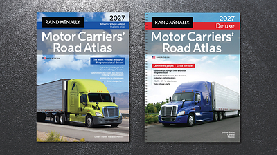
The 2027 Motor Carriers’ Road Atlas is available in paperback, spiral-bound laminated, and large-scale editions.
Have your say
This is a moderated forum. Comments will no longer be published unless they are accompanied by a first and last name and a verifiable email address. (Today's Trucking will not publish or share the email address.) Profane language and content deemed to be libelous, racist, or threatening in nature will not be published under any circumstances.