B.C. invites public input for Kamloops transportation strategy
The B.C. Ministry of Transportation and Infrastructure is seeking public input about transportation needs in Kamloops and the surrounding area as public engagement for the Kamloops Area Transportation Strategy gets underway.
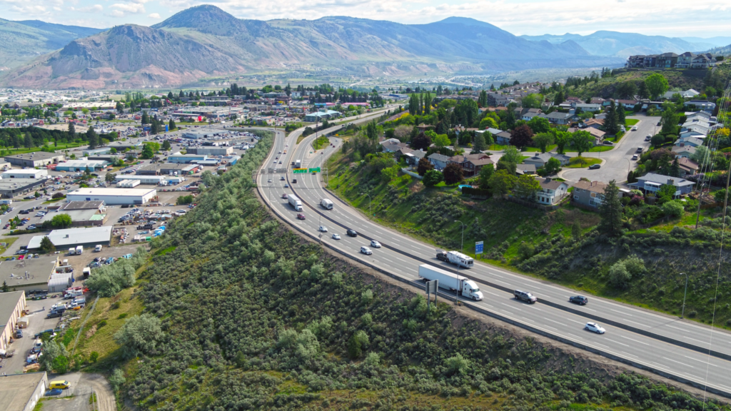
The Kamloops area is a vital connection point between the Trans-Canada Highway and Yellowhead Highway 5. In addition to its importance for local travel, the area is a crucial part of the national highway system, assisting in moving goods throughout the country and long-range travel.
People can participate online from Aug. 26 to Sept. 16, 2022, by viewing presentation materials and completing a survey at: https://engage.gov.bc.ca/kamloops-area-transportation-study/.
The strategy will include three rounds of engagement with local and First Nations governments, interested parties and the public. The first round of engagement will help the ministry understand what is important to people travelling through the Kamloops area and help inform future engagement.
The strategy area includes the provincial transportation network within the boundaries of the City of Kamloops and Tk’emlúps te Secwépemc. This covers:
- Highway 1 from Afton Interchange underpass to the west, to the Lafarge Road Interchange to the east;
- Yellowhead Interchange of Highway 1 and Highway 5;
- Highway 5 from the Yellowhead Interchange to the Old Highway 5 intersection at Heffley Creek; and
- additional provincial roads and infrastructure.
Have your say
This is a moderated forum. Comments will no longer be published unless they are accompanied by a first and last name and a verifiable email address. (Today's Trucking will not publish or share the email address.) Profane language and content deemed to be libelous, racist, or threatening in nature will not be published under any circumstances.